

Description
Wyld Official
Also notes the disputed lands of Armenia and Kurdistan
and the Maniana Cannibals
Delaware and New Jersey
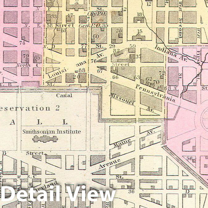
Historic Map : Mitchell Map of Washington D.C. & Georgetown , 1850, Vintage Wall Art Size:24in x 20in Wyld OfficialThis is beautiful hand colored 1850 map of Washington D. C., Capital of the United States. The map covers all of Washington D. C. as well as parts of adjacent Georgetown. The whole is highly detailed with individual buildings noted and color coding to define city wards. Some seventy five buildings, including the Capitol, the White House, the Cemetery, the Brewery, various markets, the Masonic Hall, and the Tobacco Warehouse, and many others, are
Exchange/Return Notes
- We offer a 30-day return/exchange service after receiving.
- Final sale items are not eligible for returns or exchanges.
- To process your return/exchange, please contact us at [email protected]
- Please click here for more details>>> Return & Exchange Policy
You may also like


recommand products


